2016 IFR Editorial Index
Discover a year's worth of IFR content, all on one page!
Winter Airplane Accidents
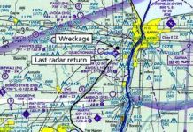
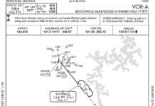
Investigators also found that there was an absence of radar returns for the aircraft as it moved over the airfield, suggesting that it was below radar, which is only 500 feet AGL here. The wreckage imprint on the trees suggested a shallow descent angle. This suggested the pilot was hunting close to the ground trying to acquire the runway visually. Unfortunately, he was already past the airport.
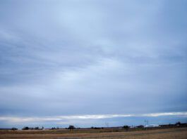
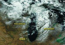
Low Clouds and Fog
November in the U.S. means the risks from thunderstorms have disappeared everywhere except the Gulf Coast region as a new set of problems emerge, from icing to turbulence to low clouds, fog, and high winds. A breakdown of accident statistics helps tell us where to focus our attention first. Using a 2003-2007 study, we find that where weather was a cause or contributing factor, low ceilings and visibility were the #2 factors, involved in 18 percent of all weather-related accidents.
When Air Traffic is Light, ATC Lets You Take Your Time Landing
Controllers cant just look where the traffic is now. Were mentally projecting every route ahead to see future conflicts. If Ive got two 120-knot aircraft at the same altitude converging on a point 20 miles away, in 10 minutes theyll be waving to each other. Something-like an altitude change-must be done in 10 minutes. If I need to use immediately in that altitude clearance, I screwed up by waiting way too long.
A Change of Seasons
The most immediate change that meteorologists and pilots see in the weather pattern is an increase in the tropospheric flow across the United States and southern Canada at all levels. This starts in earnest in September and continues through October. Temperatures decrease rapidly in the polar regions as fall progresses, dramatically strengthening temperature contrasts between high latitudes and the tropics. This enhances the jet stream pattern and surface patterns alike. So across the board we see an increase in clear air and mechanical turbulence everywhere.
Change Your Checklist
Checklists get taken for granted-settle into your seat in the cockpit, pull out the booklet or laminated cards, turn to the Before Engine Start page and start following the steps. Fire up the engine(s) and proceed down to After Engine Start and Before Taxi. Sound familiar? For most flying under 14 CFR Part 91, this read-then-do routine is the norm all the way to Parking and Securing. While many pilots with a fair amount of experience-particularly those with their own aircraft-will often go a step beyond and make their own checklists, there are far more efficient methods to get things done on time and in the proper order.
Using Standard Operating Procedures in General Aviation
Some users of the National Airspace System live by Standard Operating Procedures (SOPs), and some do not. This is arguably the most significant difference between air carriers and general aviation when it comes to training, testing, and cockpit cultures. This is also, by some measures, a factor in accounting for the differences in accident rates. General aviation, particularly the single-pilot, personal-flying kind, relies not on the use of SOPs, but basic personal minimums for aeronautical decision making.
Reading the Sky
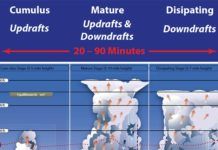
A cloud is the visible manifestation of liquid water droplets or ice. It forms when humid air cools sufficiently for water vapor to saturate and produce condensation-the dewpoint temperature. On a dry summer day in California, this temperature might be 20 degrees F, and the weather remains clear. On more humid summer days in California, the cloud formation temperature might be 50 degrees, producing morning clouds along mountain peaks. When air is chilled to the dewpoint, the humidity becomes 100 percent and from the texts we expect saturation to occur. But in real life this doesnt always happen. If a given volume of air doesnt contain condensation nuclei-microscopic bits of dust, pollen, etc.-the relative humidity may exceed 100 percent without producing clouds. But for the most part, this relationship between temperature and dewpoint is correct.
Readback August 2016
Certainly following the airways and the MEAs, and then descending over an initial approach fix or hold would be best. I was just thinking of a case when we werent on an airway, like between Keflavik, Iceland (BIKF) and Narsarsuaq, Greenland (BGBW). We wanted to make sure we were above the OROCA and MSAs for that area when we were descending. I guess we could have stayed at our filed FL170 until over the hold, but given that the airport is at sea level we wanted to start a prudently safe descent beforehand.
Flying in a Thunderstorm
Pilots get a pass for confessing to the Aviation Safety Reporting System, while the private sector (Embry-Riddle Aeronautical University), not the U.S. government, maintains one of the largest online repositories of NTSB accident documents. Theres no shortage of lessons to be learned and a great culture of diffusing this hard-won wisdom. So, lets delve into a few randomly selected NTSB accident reports, supplemented by any available press stories.
Using Spherics
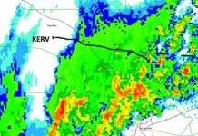
Both spherics and NEXRAD have blind spots and neither is infallible. Spherics devices can have false negatives because they dont see those static discharges until they happen. While most cells with dangerous opposing currents also produce significant static, nature is inherently unpredictable and the static discharges can lag. Of course, the delays in getting NEXRAD images to the cockpit can lead to significant errors. Plus, radar only seeing precipitation, not turbulence, can cause difficulty interpreting the image.
Introducing Graphical Forecasts for Aviation
In the summer of 2014 the FAA published in the Federal Register its intent to do away with the Area Forecast (FA) and replace it with digital and graphical alternatives. The agency wrote that the FA was a broad forecast of limited value and that existing, better, alternatives existed.
