Missing the Point
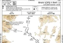
Few situations require quick judgment like deciding to go missed with weather at minimums. Arriving at missed approach point or decision altitude, the pilot must determine if the runway environment is in sight and the required flight visibility is evident. If these conditions are met, is the aircraft in a position to land and is the runway condition suitable? All of this must be accomplished while flying through a sea of obstructions at about 150…
Black Box for GA
Long the purview of sophisticated flight data recorders available only to airlines, many of the popular integrated TAA systems being installed today can record all the critical-and embarrassing-data about your flight. Activating a data logging feature typically calls for little more than inserting a memory card in a slot; the machine does the rest. …
On Your Own in Class G
According to 14 CFR 91.173, an IFR flight plan and clearance are only required for flight in controlled airspace, yet most of us have to at least occasionally depart airports within Class G airspace, essentially the only uncontrolled airspace we use. Class G usually ends at 700 or 1200 feet AGL, though there are remote places where its all the way up to 14,500 feet. Other than this, there is little guidance in the regulations…
All Fixed Up
You dont have to know how sausage is made to enjoy it, but you might want to know about some of the ingredients. The same is true for instrument approaches. You dont need to know how they are made, but an understanding of the ingredients will help.
Is Expired Data Usable?
There is no question that pilots planning to fly IFR should always keep a current database in their approved GPS. Its not difficult and it demonstrates a professional attitude toward instrument flight and aircraft maintenance. In the perfect black and white world of flight schools and checkrides, this would be standard. However, in the real world of dumb luck and Murphys Law, this topic gets a little murky. …
Voil Volpe
If there was ever a high-performance document, the instrument approach procedure chart (plate) is it. Flying an approach asks a lot of us. Information needed for an IAP, SID or STAR must be retrievable quickly and correctly off the chart while minimizing head-down time away from the instruments.Until the mid-1990s, approach charts evolved without scientific study, driven instead by user feedback and flight safety. Liability proved a mixed blessing. Litigation motivates accuracy, but also makes…
Basic Utility and Fun
I made up my mind to sell my house at that fancy Florida fly-in community the day a joker from the homeowners association scoffed at my Skyhawk and asked, You flew all the way from Chicago in that thing?
The Acronym Jungle
This past year weve delved rather deeply into many of the details and vagaries of approaches you can fly with your satellite-based navigator. To do so, weve used many industry-standard terms and their common acronyms. Since a lot of these are unfamiliar to many pilots, weve gotten criticized for our journey through the acronym jungle, as one reader put it. …
Missing Something?
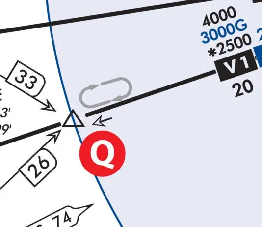
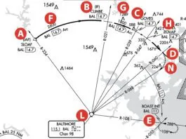
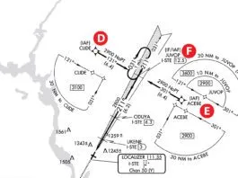
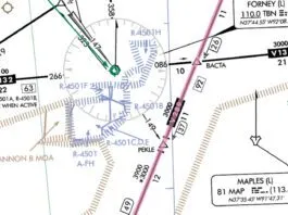
Its true. You really dont have the whole picture, by design. Alternate missed approach fixes have been sneaking onto approach charts for a while, but you wont easily find a way to use them. Its even difficult to find out when you would use those alternate holding patterns. [IMGCAP(1)] Those alternate missed approach holding fixes are associated with alternate missed approach procedures. These are in addition to your regular missed approach procedures and are established whenever the…
IMC Club Hangar Flying
There werent any IMC Clubs when I began flying on instruments. I wish there had been. I might not have had to make quite as many mistakes for myself as I did. [IMGCAP(1)] Back in 1984, a designated examiner by the name of Francis Xavier Scott pontificated upon me and pronounced me fit to fly an airplane solely by reference to instruments. I clearly remember Scottys magic words: Lets go inside and get you written up. I…
Jeppesen vs. AeroNav
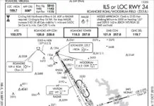
In a pinch, you may only have access to one type of chart, and it might not be the type youre familiar with. A good briefing is essential for every departure and approach, and a good knowledge base for the chart type in use will help facilitate that briefing. Lets compare AeroNav and Jeppesen approach charts.Lets use the ILS or LOC Rwy 34 in Roanoke, Virginia for comparison. …
Readback: August 2014
Reference Fred Simonds article Need Datalink? in the May 2014 issue. We first put datalink into our Bonanza about a dozen years ago after being stuck for a few extra days by weather. We had a post-mounted StratoCheetah by Echo Flight that used the Iridium satellite system. It worked reasonably well but was intrusive. Next a panel upgrade included the, then, UPSAT MX-20 with WSI datalink FIS. This is what we still use today in contrast to the XMWX system mentioned as the only available system in the article. There are some differences in the data and presentation, but the WSI receiver provides most of the same information as XM systems I have used.

